
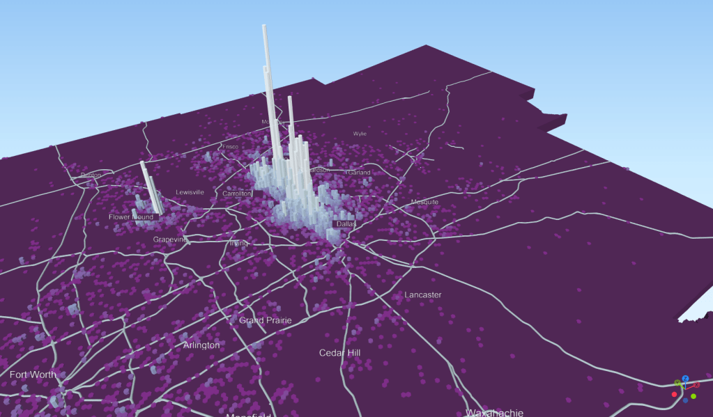
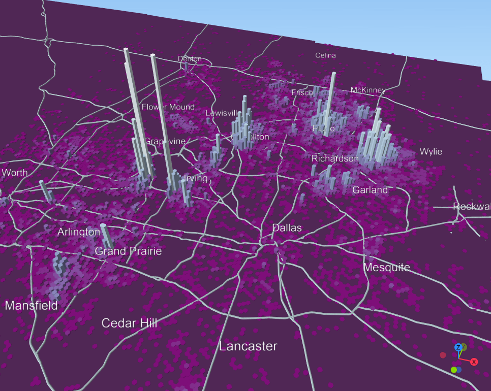
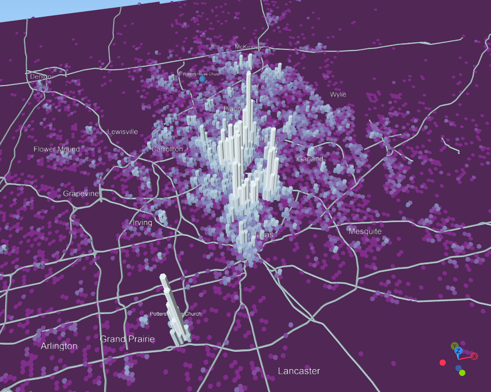
An update to the Religion Maps of North Texas (now private). The distribution of attendees at various churches using a huge dataset of cellphone data that was given away for free during COVID to researchers at academic institutions.

An update to the Religion Maps of North Texas (now private). The distribution of attendees at various churches using a huge dataset of cellphone data that was given away for free during COVID to researchers at academic institutions.

